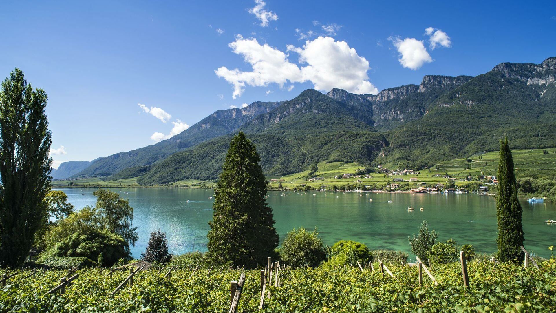
within 5 minutes to merano
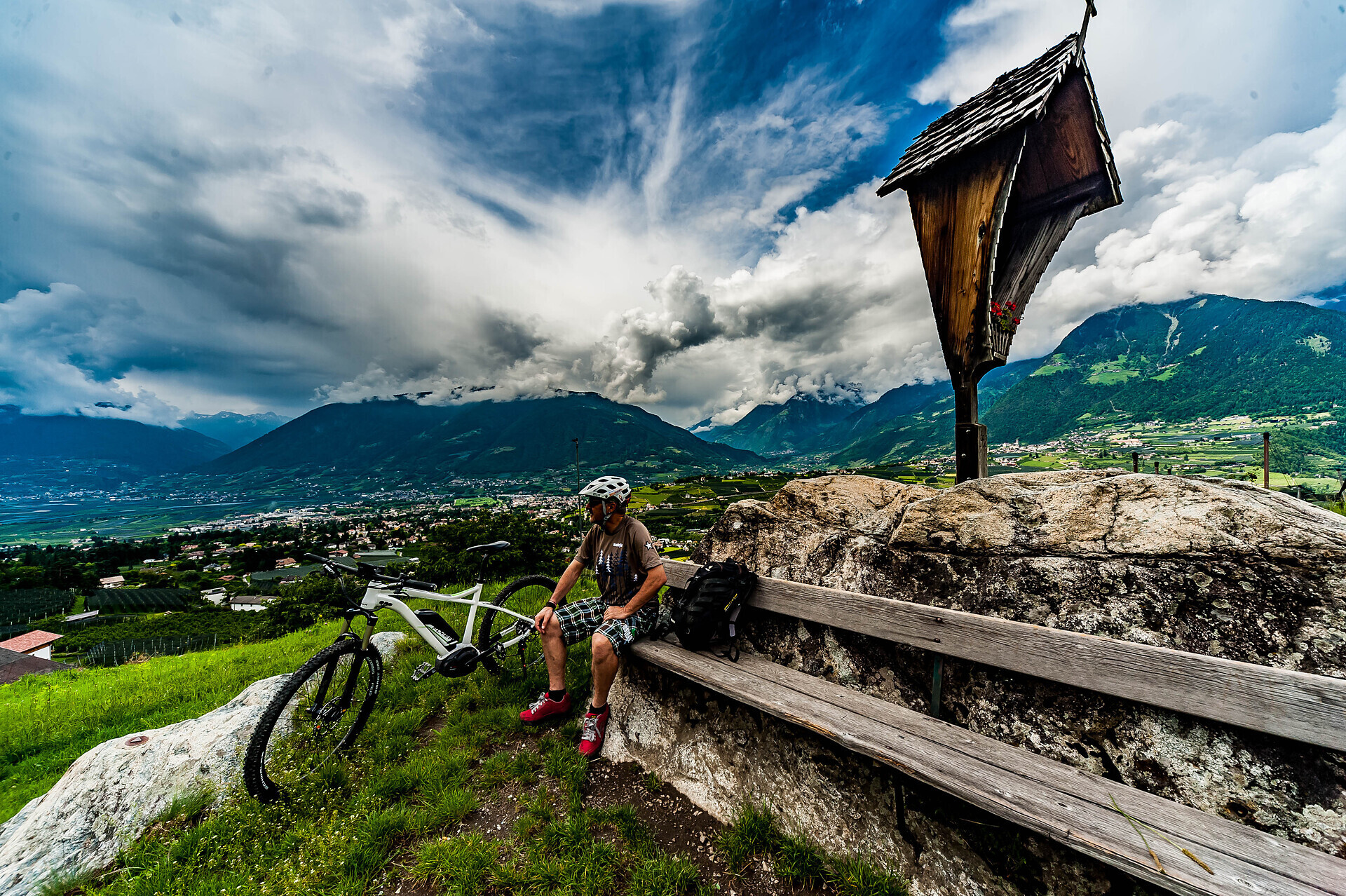
Close to the Spa Town
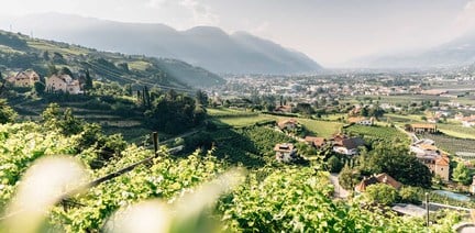
Start at the tourist office and go to the swimming pool to take the Adige cycle path towards Meran/Merano. Cross Meran/Merano and continue past the Lazag recreation area towards the Passeiertal valley until the Plantastraße road. Turn left into the Rothalerweg road and continue up to Schenna/Scena. Cross the village until you reach the St. Georgener Straße road that you follow until the Gsteierweg road that takes you to the Gsteier restaurant.

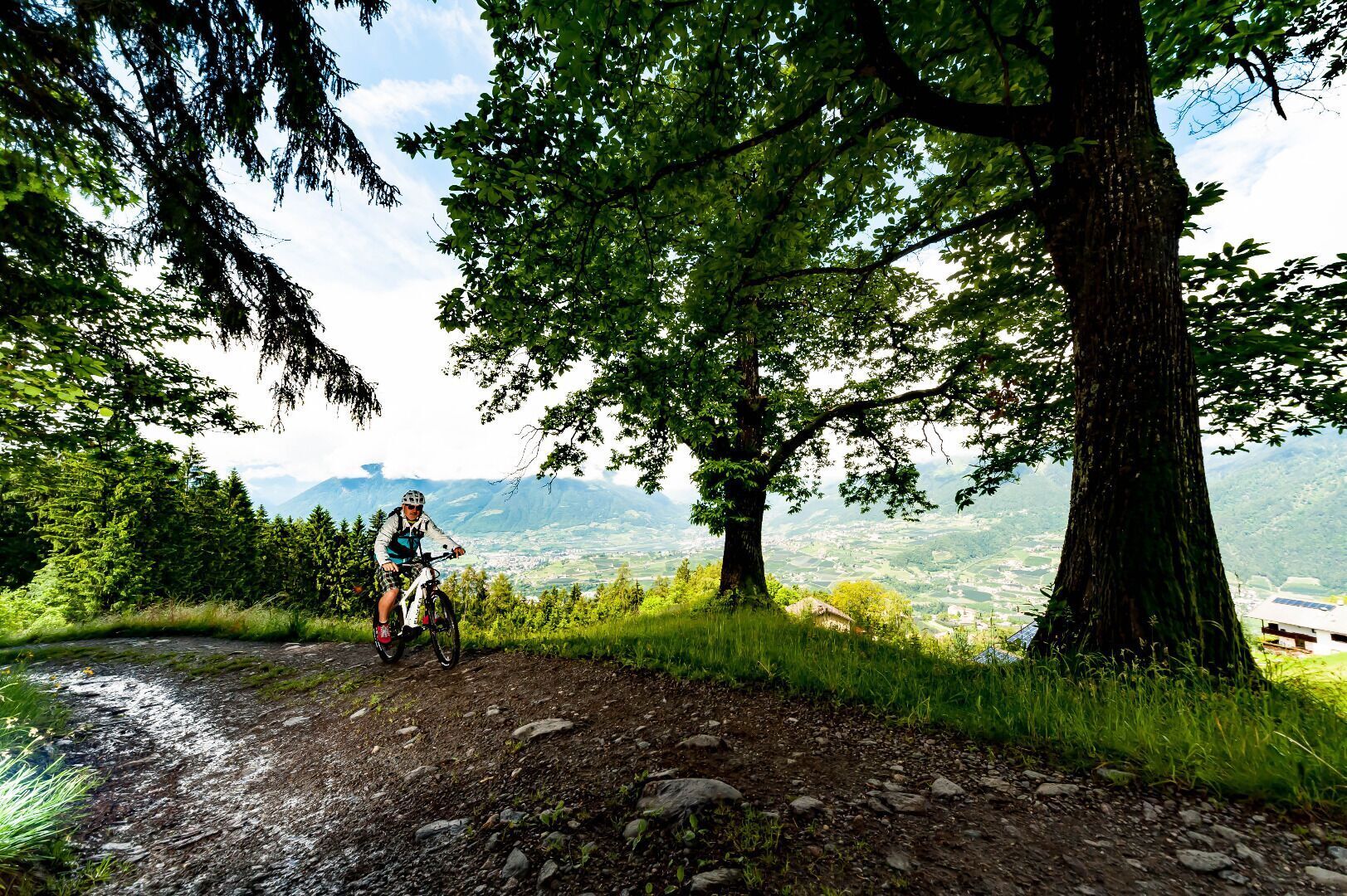
The access to the Brand trail is at the parking lot “Kreuzbrünnl” following the signposts “Uphill Naturnser Alm”. After about 1,5 km turning left into a forest road ...