Höll-Tour
Route length in km: 17,9
Vertical climb: ascent 373m – descent 1.156m
Surface: asphalt, forest path, Single-Trail-section
Required technical skills: S0/S1 – easy
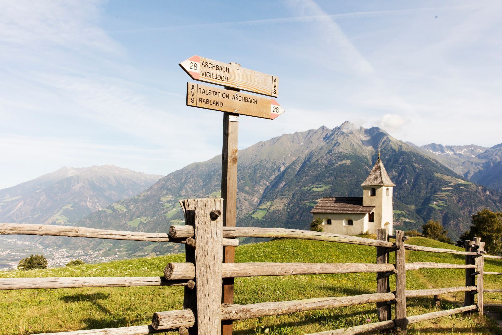
Cablecar to Aschbach/Rio Lagundo, Infopoint turn left forest path 27A to junction, turn right, ascent to junction Stuanbruch-Trail to Mahlbach, turn right to forest trail 30, turn left to Single-Trail. Follow the Single-Trail to Steinbruch (stone quarry). Follow the forest path to road Quadrat, turn left, pass the restaurant Brünnl and Niederhof and follow the road to Töll/Tell. From there take the cycling route Via Claudia Augusta back to Rabland/Rablà.
Alternative descent: Stuanbruch-Trail (S3)
-Saringstraße, Rabland/Rablà (parking lot No. 1 at the cycling track, close to the railway station)
all-day parking, in the designated parking lot
-Cutraunstraße, Rabland (parking lot No. 2 on the cycling track, close to the railway station )
All-day parking, in the designated parking lot
From Meran/o: train 250 or bus 251 to Rabland/Rablà
From Vinschgau valley: train 250 or bus 251 to Rabland
Cuisine for bikers: https://bit.ly/3cnDQlF
Fancy a hiking holiday in Algund?
We will gladly help you to plan your holiday in Algund.
Uphill Seespitz
| Length: 13,58 km | Highest point: 1744 m
Starting point: Töll Etschbrücke bridge (525 m)
Destination point: Seespitz mountain inn (1,750m)


